DARPA Map Feature Extraction Challenge
Shirui Luo [1], Aaron Saxton[2], Albert Bode[3], Priyam Mazumdar[4], Volodymyr Kindratenko[5]
[1] Reserch Scientist at National Center for Supercomputing Applications
[2] Data Engineerg at National Center for Supercomputing Applications
[3] Research Programmer at National Center for Supercomputing Applications
[4] Graduate PhD in Electrical Engineering at University of Illinois Urbana-Champaign
[5] Director for the Center of AI Innovation at the National Center for Supercomputing Applications
Awards
Our results won Second Place in the Map Feature Extraction Challenge held by DARPA! This was done as a part of the National Center for Supercomputing applications New Frontiers Initiative which focuses on solving problems of interest to intelligence, security and energy communities.
Abstract
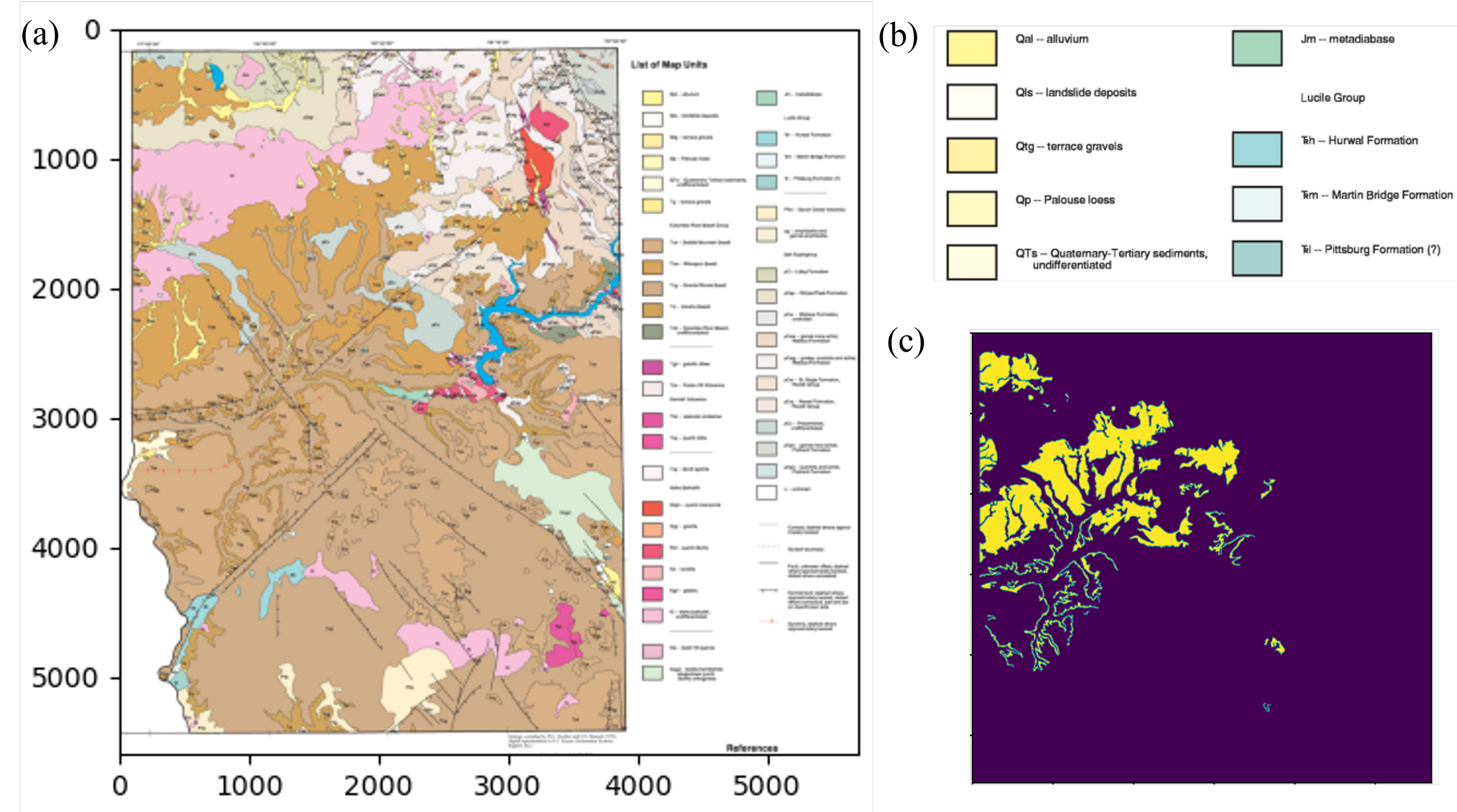
Critical minerals play a significant role in national security, the economy, renewable energy development, and infrastructure. Assessment of critical raw materials sometimes involves analyzing existing scanned maps. In this study, we present a deep learning method for extracting digital features from such maps. Our results demonstrate that UNet can be successfully applied to historic topographic maps to extract the extent of mining-related polygon regions. The overall performance achieves an F1-score above 0.77. This study can offer a means to reduce workloads and manual digitizing time for deriving vector geospatial data from historic, georeferenced topographic maps.
